3D Point Cloud & LiDAR Annotation
Production-ready at any scale
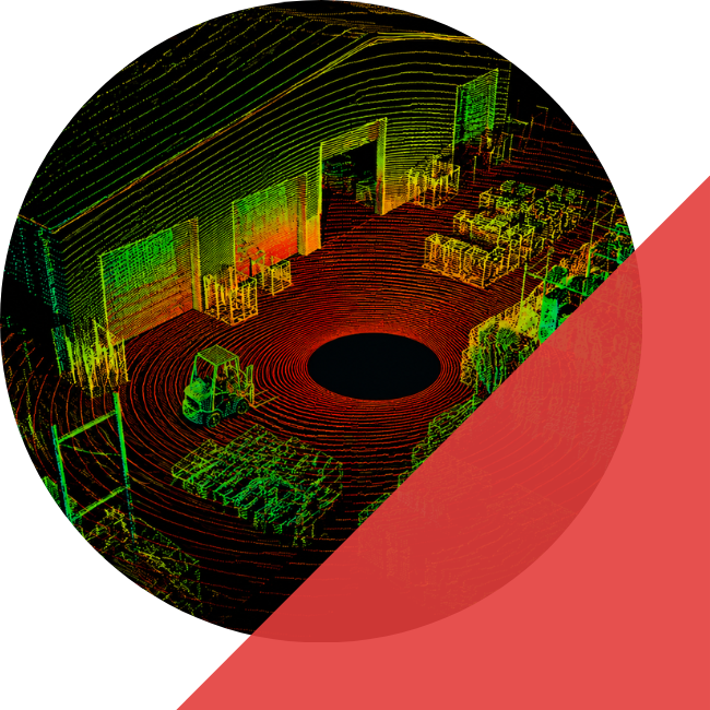
ANGO HUB
MULTI-MODAL ANNOTATION PLATFORM
AUTOMATED CUBOID
PLACEMENT
Cuboids created and refined without manual frame traversal. Annotators focus on quality, not repetition.
2D / 3D PROJECTION
TEMPORAL INTERPOLATION
ATTRIBUTE PROPAGATION
Labels assigned once, carried forward across frames and updated only on scene changes. This eliminates redundant re-annotation across long sequences.
UNIFIED FOCUS MODE
Front, back, and side views of any object are accessible simultaneously, which is critical for precise orientation in complex urban scenes.
ANNOTATION CAPABILITIES
Every technique your perception stack requires.
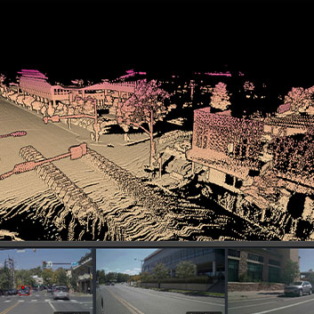
3D CUBOID ANNOTATION
Precise 6-DoF bounding boxes for vehicles, pedestrians, cyclists, and infrastructure across sequential frames with consistent object tracking.
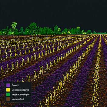
SEMANTIC SEGMENTATION
Per-point class assignment across road surface, vegetation, structures, and dynamic objects, with inter-annotator consistency enforced across batches.
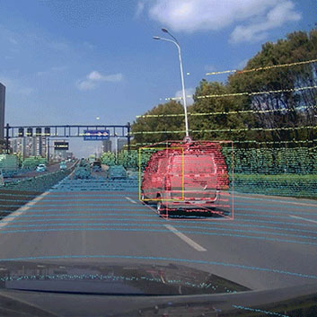
2D / 3D LINKING
Cross-modal label consistency between LiDAR point clouds and RGB camera imagery. Class, instance ID, and attributes are matched across both views.
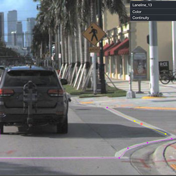
POLYLINE ANNOTATION
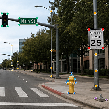
HD MAP CONSTRUCTION

PANOPTIC SEGMENTATION
Combined semantic and instance labeling for complex scene understanding where both stuff classes and individual object identities are required simultaneously.
CASE STUDY
A global automotive technology leader faced significant hurdles processing vast amounts of 3D multi-sensor data. iMerit deployed specialized smart annotation tools including multi-modal LiDAR/RGB interfaces, temporal interpolation, 3D snapping for bounding box alignment, and sensor alignment overlays. AI-assisted pre-labeling and automated QA rules proactively caught missing or misaligned objects before delivery.
Reduction in annotation time



HOW iMERIT COMPARES
While others stop at software, iMerit goes further to own the outcome.
Powerful Platform
Ango Hub is purpose-built for multi-sensor 3D annotation at scale.
Expert People
Full-time, domain-trained annotators assessed at 80%+ before any project.
Proven Processes
Two-stage QA, automated point density monitoring, schema design.
Better AI Outcomes
Higher quality data, faster time to value, lower risk, better model performance.
| WHAT YOU NEED | TYPICAL PLATFORM VENDOR |
iMerit Platform + People + Process |
|---|---|---|
| Annotation Platform | ✓ Provides Platform | ✓ Own Platform + Best-in-Class Tools |
| Expert 3D Annotation Workforce | ~ Limited / gig workers | ✓ Managed Global Workforce |
| Domain & Subject Matter Expertise | ~ Limited | ✓ Deep Bench of Specialists |
| Workflow & Schema Design | ✗ Customer Owned | ✓ iMerit Designs & Implements |
| Temporal Interpolation & Attribute Propagation | ✗ Platform-only / no managed workflow | ✓ Native to Ango Hub 3D workflow |
| Quality Systems & Governance | ✗ Customer Owned | ✓ iMerit Owns & Operates |
| Production Delivery & Scaling | ~ Limited | ✓ Delivers at Scale |
| End-to-End Accountability | ✗ No | ✓ Yes — Outcome Driven |
YOUR OUTCOME
Better Data. Better Models. Real-World Impact.
INDUSTRY VERTICALS
Built for every domain that depends on 3D perception.
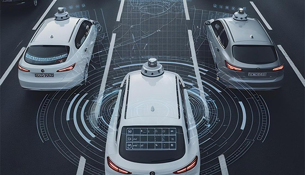
AUTONOMOUS VEHICLES
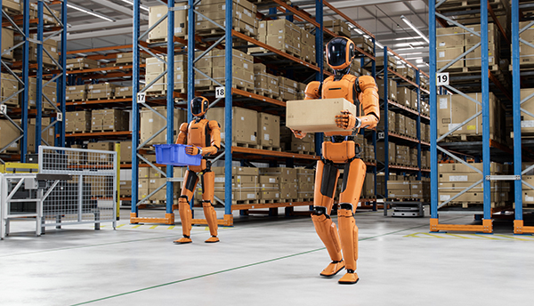
ROBOTICS
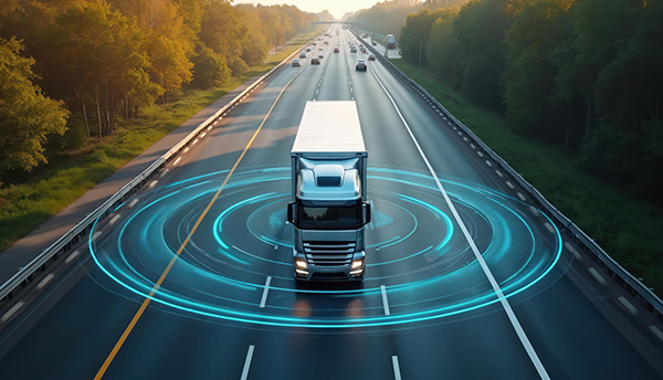
AUTONOMOUS TRUCKING
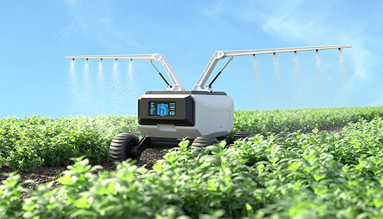
AGRICULTURAL AI
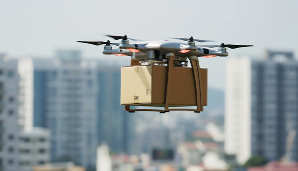
DRONES & UAV

CONSTRUCTION & INDUSTRIAL
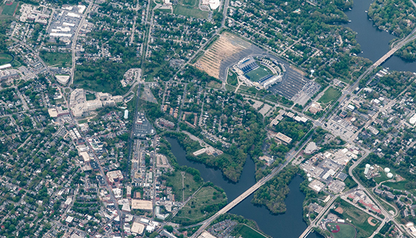
GEOSPATIAL &
MAPPING

ROBOTAXI
WHERE iMERIT 3D ANNOTATION DELIVERS
Three production scenarios where the depth of iMerit’s platform and workforce creates measurable advantage over annotation-only vendors.
DENSE URBAN
INTERSECTION COVERAGE
LONG-RANGE HIGHWAY
PERCEPTION
ADVERSE WEATHER
EDGE CASE ANNOTATION
Rain, fog, and snow degrade LiDAR return quality in ways that expose annotation gaps invisible in clean-weather data. iMerit’s domain-trained annotators are specifically assessed on adverse condition datasets. This is the long-tail coverage that determines real-world model performance.
THE iMERIT DIFFERENCE
MANAGED GLOBAL WORKFORCE
END-TO-END SOLUTION
QUALITY ASSURED
Rigorous training, two-stage QA workflows, and automated point density monitoring ensure production-grade accuracy for safety-critical perception programs.
TELL US
WHAT YOU NEED
Ready to build ground-truth data that moves your model?